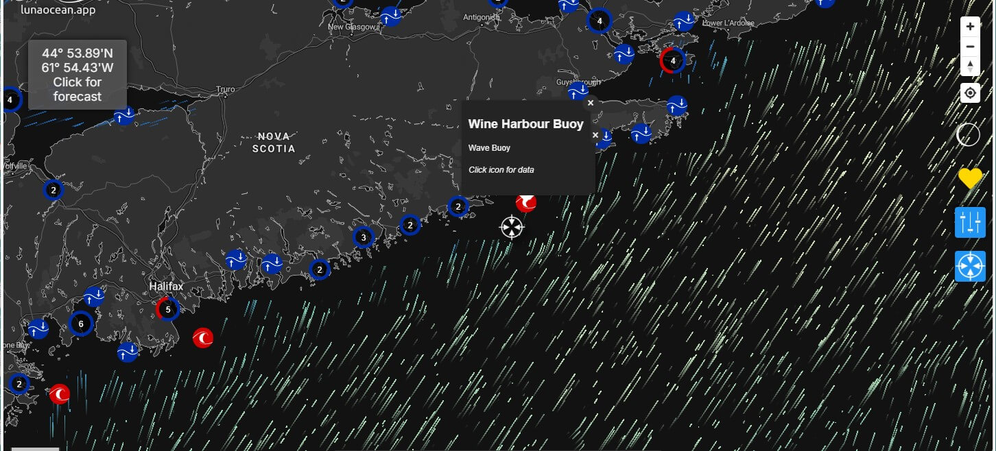
How the new Wine Harbour buoy will help ensure a safe environment for whales at the sanctuary.
It was a crisp morning on October 23rd, when a crew that included members of the Whale Sanctuary team steamed several miles offshore to deploy the Wine Harbour Buoy – the first near-real time wave buoy on the Eastern Shore.
The new buoy is part of a growing network of connected buoys around Nova Scotia that will improve the quality and availability of marine weather information and will benefit the many communities who live, play and work on the water.
Building and maintaining a coastal sanctuary for whales requires constant monitoring of the environment in and around the sanctuary site. What, for example, do we need to know when a storm is brewing offshore? How might rises in global temperatures and sea levels affect the sanctuary and its inhabitants over the long term? Accurate environmental information is essential to the safety of the whales and the people caring for them.
And so, as part of developing the Whale Sanctuary in Port Hilford Bay, we’re grateful to have a collaborative effort with the Confederacy of Mainland Mi’kmaq, which owns the buoy; with Luna Sea Solutions, which collects and communicates reliable oceanographic data straight from the ocean to a mobile app; and with the local fishing community with whom we’ve been working over the last four years.
Click on the image above to open the Luna Ocean app. Then use the search bar (near top right) to enter “Wine Harbour buoy” (be sure to use correct Canadian spelling of “Harbour”) and view environmental info live from the local region. And zoom in and out to see all the wave buoys off the coasts of North America.
The Wine Harbour Buoy will fill a critical data gap between Halifax Harbour to the south and Chedabucto Bay to the north since, before now, the nearest wave buoys were several hundred kilometers away.
You can use the app to monitor wind, wave and temperature data yourself.The buoy is already active, capturing wave, wind and temperature data every half hour. It updates a website/app every hour by satellite connection and it calculates in-depth marine forecasts so users can anticipate oceanographic conditions up to a week in advance.
For the sanctuary team, working with the First Nations community, the oceanographers, and the local fishers who took us all out on their boat had a further significance in the shared common interest that brings us together. We’re grateful to our partners for the generous donations of their time and expertise that went into making this deployment a success.
To stay in touch with the near-real time data and forecasts offshore, visit https://lunaocean.app where access to reliable ocean data is free and available to everyone.
